

Question: ONE School Food Tour + ONE Garmin Edge 800 = what?
Answer: Endless possibilities!
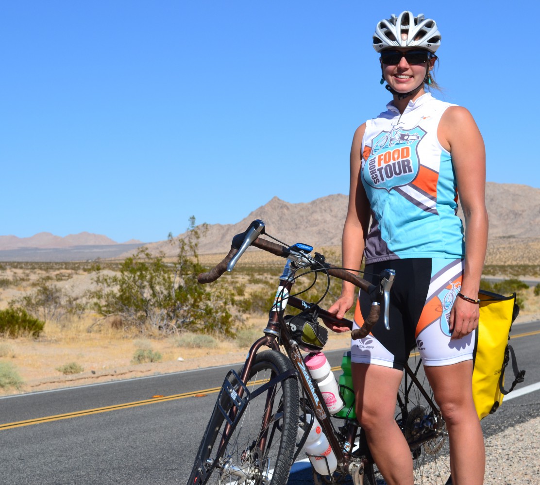
I am pleased to announce a partnership between the School Food Tour and Garmin. For you non-cycling readers out there, Garmin makes a variety of GPS units for use on bikes that calculate speed, elevation, cadence and much more. Garmin also sponsors a reasonably speedy bike team that wears some pretty sweet argyle in a little race through France…
 (<—-You know. These guys.)
So how will a Garmin improve the Tour?
Data, data, data. I’ll be using an Edge 800 model; this unit provides mapping, elevation, heart rate, distance, graphs, routes, speed and so much more. All of this information will be integrated into both my classroom visits and the virtual School Food Tour curriculum.
The Garmin Connect website provides a powerful interface and great visual tools; if a class wants to know what the elevation profile of my route through Arizona looks like, we can simply open up the website to learn more. I have a middle school here in Bend, Oregon that is conducting an entire School Food Tour math unit. They will be integrating my Garmin data into their daily classes where they will calculate speed, distance, calories burned and gear ratios, among others.
Even non-cyclists will find the Garmin a useful resource. My routes will be clearly defined and you will be able to examine the terrain, speed and distance that I travel daily. Enjoy this great video overview of the Edge 800 and some of its fantastic features:
Thanks, Garmin, for your generous support!
